Interesting that a map of that area should be posted. We were just out there two weeks ago visiting relatives in Winter Park and friends up in Ocala and were confused several times by the entire east/west designations on I-4.
That is a great place to visit, but like you, I wouldn’t care to live there.
A railroad runs either east-west or north-south by timetable direction. That really has nothing to do with the compass directions. It is purely a convenience for establishing the directions of the trains for superiority. On some railroads entirely east-west in their timetable, subdivisions may physically entirely run north-south. Doesn’t matter what the compass direction is.
At Pine Bluff, AR the MP came into town from the NW and exited to the SE, the SSW came in from the NE and exited SW. The city had them combine their parallell mains. On that piece of joint track, two trains, both headed from St Louis to New Orleans could have a head on collision.
For as much as Americans travel, they certainly are geography challenged. The hiway system is set up like you are looking at a map of the US. The southeast US is to the right and down. The Northwest US is to the left and up. The Hiway directional designations reflect that.
A person should know that either N or W require the same directional turn, as do S or E. If, say, a person thinks they want to go N, and they are presented only with an E or W choice, they should choose W.
I’ve said this here before. With American race tracks, the finish line being the important part, the home stretch is right in front of the crowd, and the cars/horses progress intuitively like reading a book…from left to right. Since the natural progression is to go from left to right, and the directional system is set up as I described; trains are going from W to E or N to S along the front track. So a looping train on a small island type of layout, intuitively to me, should be running counterclockw
Maybe it is my background as a draftsman, but when we put lettering on a drawing, vertical dimension lines are labeled as if the right side of the page is the bottom of the page.
So a map or site plan showing the top as North, would have vertical writing viewed as if you turned the drawing and are facing West with North to your right.
I remember reading many years ago in an article for beginner model railroaders that for picking a direction foe oval type track plans, that clockwise was generally used for a westward direction. I don’t recall any mention for north/south directions. Noe do I recall any rationale for using clockwise. Possibly since oval layouts were common, when facing the layout, clockwise motion to the left would correspond to looking at a standard map where left is west. It could also just be an arbitrarily arrived at decision, or that’s what the writer used on his layout.
When I had loop type layouts, even large one with a central staging yard that operated as point to point, I used clockwise for west. My current setup is a point to point with no connection for continuous running. If it had such connection, than it would be a large loop, but on this one clockwise would be eastward. It just worked out that way for the space available when fitting in the stations of the line I model.
I keep my light source a few inches farther away from the wall than the train track. If my track is 24 inches away from the wall. I want my strongest light source about 30 inches away from the wall, since I don’t want to see shadows towards the side I’m looking at. Everything casts a shadow, whether you notice it obviously or not. If you have light all over the place, the strongest light needs to be on side of the trains you’re looking at.
A short shadow on the back side of the trains, buildings, trees, etc, is what happens with the midday sun in North America.
A long shadow that’s cast onto the backdrop, which I never do, would look like sunrise or sunset…or midday winter if you live in Canada and the sun is always low in the sky.
Since I live in the USA, short shadows being on the other side of the thing I’m looking at means that its midday, and I’m generally facing North…so East is to the right.
I thought this was obvious, without much room for argument.&
I’m not a draftsman, but when I read text on the internet, the sentences always makes more sense to me when I read them by starting at the upper left and move towards the bottom right. The last words I read are on the lower right.
I think Artists generally sign paintings on the lower right. IOW, the last thing they do ends up on the lower right. Unless they’re eccentric.
When we hang the flag, the stars are to the upper left, and we call it Stars and Stripes. If we called it Stripes and Stars, it would hang backwards and upside down.
Maps are like a picture that you take from above, so you would orient it like most everything else.
Oh well. Makes sense to me.
Read with sarcasm, since I don’t take this topic very seriously.
Picture is worth many words. The orientation of the sun in North America.
We are looking West. If this was a layout and I had a choice as to how to select orientation of the places on the layout, I’d be standing under the high sun and facing North.
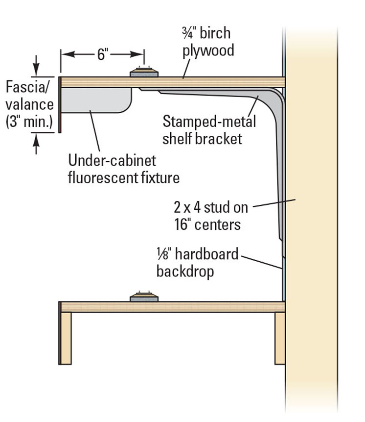
Valance lighting: If the source of that light was 93,000,000 miles above the track instead of 24 inches, and was very big, it would be over my back shoulders.
In New Orleans, from Canal Street, the French Quarter is northeast, but is downtown. From Canal Street, uptown is southwest.
In all my years living there, I don’t remember anyone ever using east, west, north, or south, except in street addresses. Directions were always toward the river, toward the lake, uptown, or downtown. I was told the up and down were based on the direction of the Mississippi River’s flow.
The norm in orienting ourselves is North at the top, or in front of us. Which puts East to the right, and West to the left, and South behind us. We are so accustomed to this “standard” that orienting ourselves differently is not intuitive.
Having West at the top or in front is the 2nd most intuitive, but not nearly as much as intuitive as north at top.
An almost sure way to get discombulated is to turn on the GPS map in your car with the top being whatever direction your car is headed. If you are headed south and the directions say turn on Hwy 1 West, you will initially want to turn left instead of turning right as shown on the display. If the display is turned off, watch how disconcerting the cardinal directions are when you start from heading south or east.
The same initial discombabulation occurs when you are facing south or east on a layout. The layout owner is used to the non-standard, but visitors are not.
If on the front side of an oval layout where you can see both sides, east and west kind of lose their meanings. This is a great argument in favor of view blocks when viewing from the outside of an oval. The view block restores the East is right paradigm, no matter which side you are on.
A long winded way to arrive at eastbound is counter-clockwise if standing on the outside of a continuous run, and eastbound is clockwise if standing on the inside of a continuous run.
To continue with the highway discussion, take a look at I-90 and 94 in Montana. They are both designated as east-west highways.
However, going east from Billings 94 goes north as well as east until it leaves Montana just east of Wibaux. (We-bow. French with a long e and a long o.)
The way you orient your layout may depend on your familiarity with the subject. If you are modeling a prototype you are familiar with, one you railfanned or maybe even have rode, you might orient your model in the direction you viewed it, regardless of the compass direction. If you boarded the train, your model may have the station platform near the outside of the layout, so you are looking at the train and background as you would have in real life.
Freelanced layouts might be based on actual geographic locations, such as the rail line that “should have been built”; or may be more imaginary generic locations such as a port city, mining district, etc. For a line that follows the south side of an actual river, if your point of view is at river’s edge, then you will be looking south, with the rail line perhaps in the foreground and the valley side rising in the background. East will be to your left.
For totally freelanced pikes which might have vague geographic reference, orienting north, with east to the right, might be a way to keep your bearings without familiar geographic landmarks.
Completely agreed, all good reasons to do what works for your situation.
The one thing that is important to me is that it be the same everywhere on the layout - this is simply an operator convenience to make the layout easier to understand and operate.
So on my new layout all viewers and operators are “inside” the loop, always on the south side of the tracks, looking “more or less” north, with east to the right.
The “loop” is really a twice around with one trip hidden with staging. So there is a west end to the scene and an east end to the scene.