What are the proper highway markings for this time period. White vs yellow; double lines vs single solid lines; proper markings at RR crossings, etc?
RicZ
What are the proper highway markings for this time period. White vs yellow; double lines vs single solid lines; proper markings at RR crossings, etc?
RicZ
Start with this 1948 scanned version of the MUTCD; there are a few obsolete practices in that MUTCD by the late 1950s (mostly the Black on Yellow stop sign), but a lot of them are still applicable (some even till today).
There is a link on that page to the 1954 revision, which (among other things), specifies the White on Red stop sign common today.
Outstanding, this is exactly what I was looking for. Many, many thanks!
RicZ
I agree chutton01.
While the markings are a National standard, they are not always followed and evolve over time as Highway Engineers experment thinking they have a better way. Sometimes they do and their ideas eventually may get adopted. Changes often take years to implement. I know of several very rural roads in California that still had white centerline and no edgeline in the 1990’s (30 years after yellow centerlines and white edgelines were made standard).
In 1959 there were probably at least a few locations in the country that followed a 1961 Standard even though it had not been adopted yet.
Since it usually takes some years before changes in the MUTCD revision trickle down to real world applications in the US, the 1948 edition w/ the 1954 revision should work fine for your late 50’s era, especially if you are modeling properous urban areas, new suburban sections, or those new Interstate highways among other byways - if your modeling dirt roads in backwoods hillbilly country, all bets are off (it’s rather unlikely those rutted gravel roads would have reflectorized center-line white striping with gaps every 2 feet anyway…)
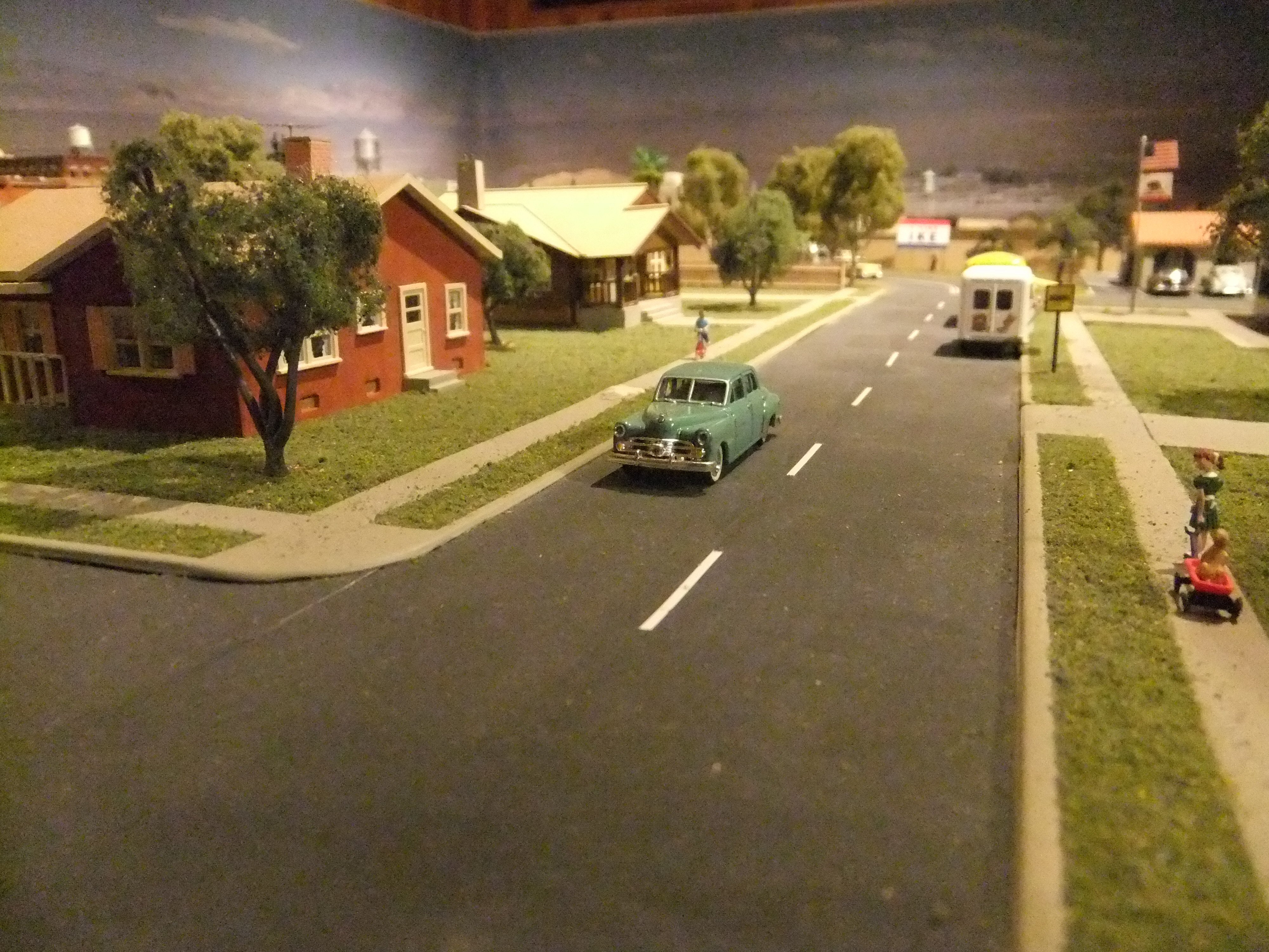
I’m using double white for my 1958 Southern California layout:

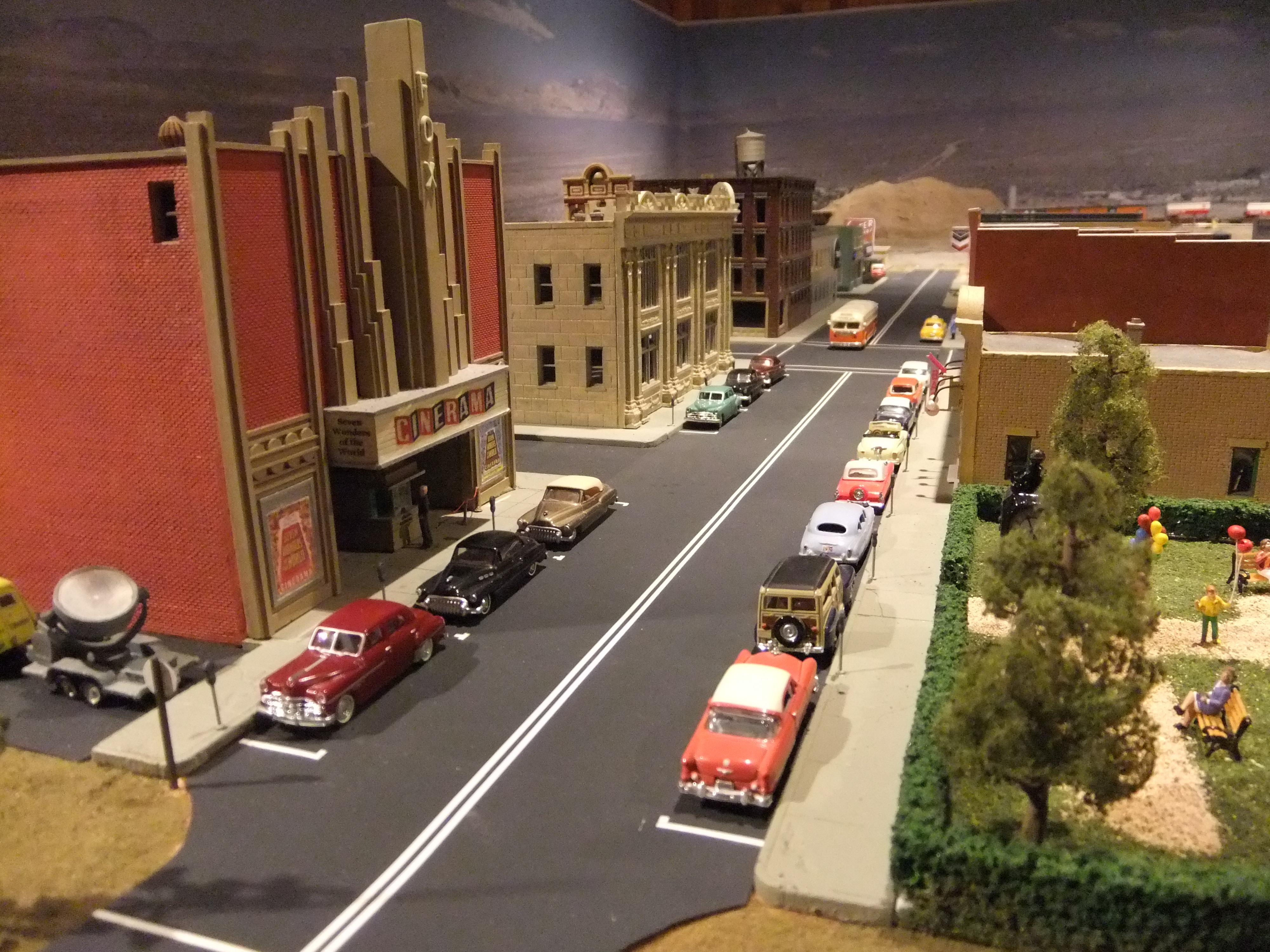
And white stripes on more rural roads:
From what I’ve found doing some research is that solid white changed to double white and then to double yellow. Double yellow started to appear around 1960.
I’ve also found a good resource is to watch movies filmed around the time period and state/location of your layout…ideally in color. For me, I found Vertigo was a great source for road stripes and license plates. A pretty good movie too [;)]
Good point. For instance, the movie Mad Mad Mad Mad World - 1963 clearly shows the variety in Highway markings in southern Californa during the period of transition after the adoption of the 1961 MUTCD.
Another source is period photos. Books of color photos of street cars are good for info on markings in many cities.
White only markings probably predominated until the 1960’s, although some jurisdictions used yellow for some markings (not necessairly center or lane lines) as early as the 1930’s
The first yellow markings I remember were in the mountains of northern California sometime in the early 1950’s . The broken centerlines were white (passing zones), The barrier stripes (no passing) were solid yellow on the side of the white line from which passing was prohibited. There were signs along the highway to remind drivers of the meaning of the lines. I later learned that this was at the time new standard for mountain highways. The standard striping in the flatlands was still all white.
The first white edge line I remember seeing was in 1966. In a heavy fog I made a left turn onto the wrong side of a main rural road in my home town. I mistook the white edge line for the centerline. The road had been restriped a few days before. White edgelines had been adopted years before (1961), but it can take a long time to make changes on the ground.
After 1961 the standards were largely unchanged until about five years ago. There have been some major chances, particuarly in no pasing zones, since I retired from CALTRANS five years ago.
I really don’t remember the interstate signage early on. I don’t think it was the familiar green background, but my mind is skipping over what it was. Anyone recall? I suspect that was standardized before the standards for all other highways was done as DSchmitt noted circa 1980.
The outside (right side in the US) whitelines are called “foglines” here in the Midwest. DSchmitt’s recollection of his experience in the fog (yeah, it’s a very scary thing sometimes[:O]) shows why they’re valuable for that.
I could kick myself for long ago discarding the softcover book about such things that we all received in driver’s education class in high school.
Dave Nelson
The 1961 Edition of the MUTCD to the rescue, with lots of notations about those new “Interstate Expressways” .
[quote user=“1961 MUTCD, Section 1D-3”]
Interstate.-On the Interstate System, all directional
It’s interesting to read even in the 1948 manual that yellow lines are recommended when they center line was solid, though white is acceptable. So it looks like either is valid for the time period.
jim
Yes, a Freeway would be cool.
I did just recently build up some foam for the highway overpass. Sort of like an early freeway…although not multiple lanes. Kind of going for a route 66 look.


YOU had a softcover book? Ours was a slate [:D] and I missed the railroad crossing module because I was sent out to get more coal for the stove.
Ed
In Maine in the 1950s, on major roads like US 1, there was a constant white dashed line. No passing zones were marked by a solid yellow line on the ‘no passing’ side. On state roads (lower class) the line was a single white dashed line in passing zones which became solid in on passing zones.