Can someone tell me where exactly the double mainlines of the NYC and PRR that ran east from Englewood Station in Chicago no longer ran parallel. The two lines were still parallel on the bridges over the Calumet River at 95th Street. But, the two lines were no longer parallel at Pine Junction, west of Gary. So, the split occurred somewhere east of 95th Street in Chicago but west of Pine Junction near Gary. That’s roughly 9 miles down Rte. 20. I thought that I pinpointed the exact location in Buffington, Indiana, at Clarke Junction, but now I’m not all that sure.
Here is a Mapquest image of Buffington, Clarke Junction just beyond Buffington and Pine Junction a little further east.
The following diagram illustrates the area around Clarke Junction and Pine Junction with the following comments by the author.
In the following map I added a purple line to indicate the EJ&E line the train is on and a yellow rectangle around “CLARKE JCT.” because it took me a while to find this junction. The old NYC is the green NS, the old B&O is the “higher” red CSX, the old Wabash is the dotted line, and the old PRR is the “lower” red CSX. The bend in the “higher” CSX route where it leaves the NYC corridor to head west is where the CSX/B&O changes to B&OCT. I understand that B&OCT still exists because there were paperwork errors when C&O and B&O merged to form the Chessie System.
If I may quote another responder (Andy Cich) to this question that was posted in a PRR . IO thread:
The PRR and NYC main lines ran alongside each other beginning at Englewood Station, milepost 460. The PRR switch into Columbia Malting was at milepost 454. Columbia Malting was between the PRR and NYC main lines. So the.main.line separation began just west of milepost 454. And Whiting was 3 miles further east at milepost 451.
That is extremely helpful, Ed. Thanks so much. From what I am reading, Columbia Malting would have been at 100th Street, and that is about 3 miles from Whiting, Indiana.
Very easy to tell on the east end where the NYC and PRR split: Whiting. The Amtrak Whiting station is built on the former NYC ROW. Three blocks east the extant NS tracks make a quick S to the north and east. This location was called Lake Junction during the Penn Central years. The S curve was built to connect the PRR to the NYC. This occurred approximately 1973. The former PRR continued southeast as a downgraded, single track line to service the massive Amoco refinery. This last until c. 1982 when a new connection was made off the former NYC to service the refinery. At Buffington, a new connection was made to bring the Broadway and the Valpo dummies down to Clarke Junction and regain former PRR iron. This continued until the three trains were both ended (dummies) or re-routed (Broadway). The PRR east of Clarke Junction was further downgraded and exists mostly as a rail-free ROW over to the Grand Calumet River.
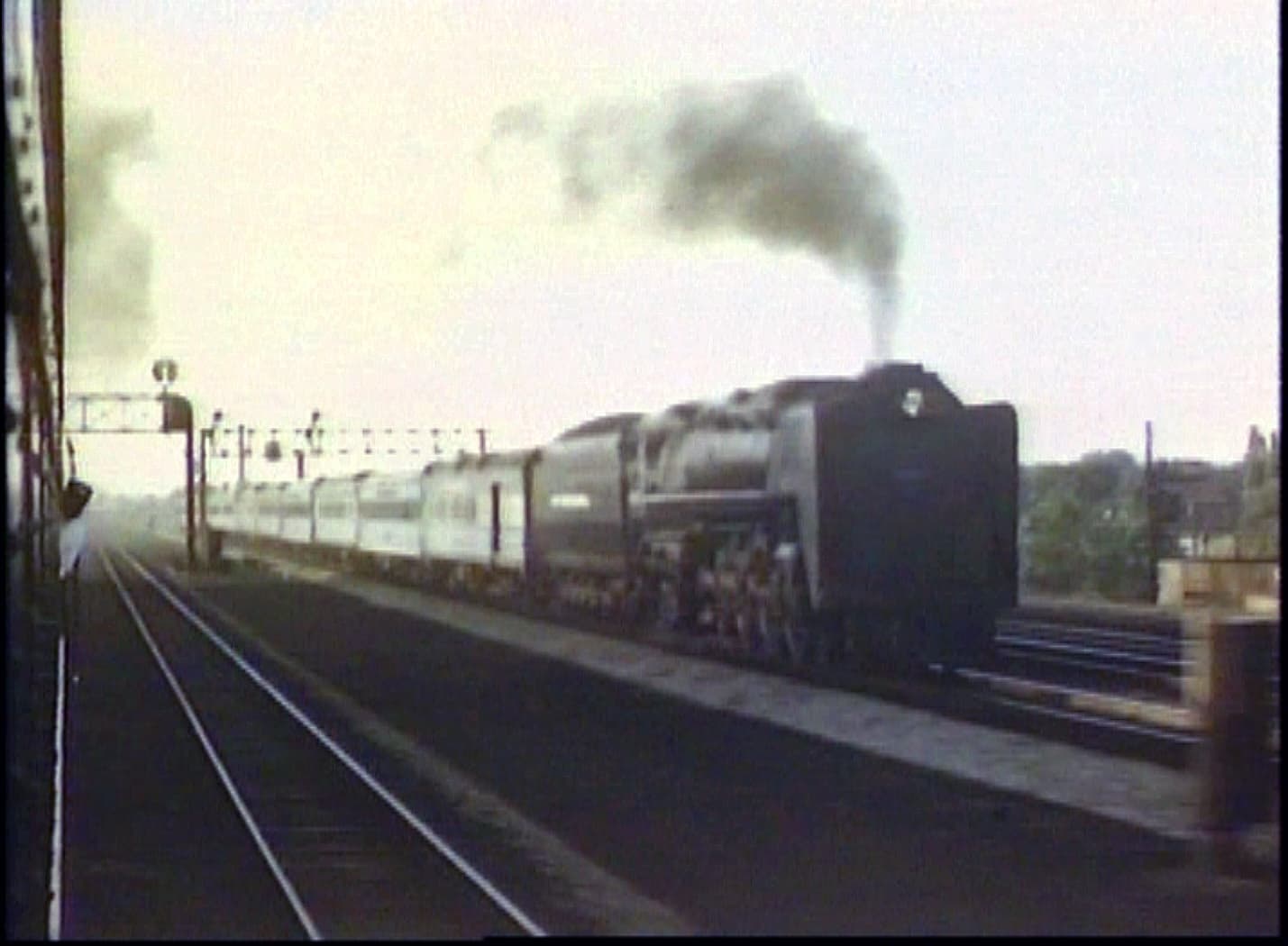
Two still frames from the Herron video Reflections of the New York Central. I was mistaken as this isn’t the Century, of course but it shows the view from a Pennsy train as the Niagara overtakes it:
Very brief moments in the film but certainly worth a look. The Century and Broadway are shown together at Englewood earlier in the film with a double-headed Broadway already underway while the engine crew of the Century, with EMD E7 power, is just getting back on board.
I had previously pinpointed the location of the split as East 100th Street, but that is a bit west of Whiting on Rte. 20. I cannot find Lake Junction on Google Maps. mat_mcc, can you help me pinpoint the spot a bit more? I see an S curve between 116th and 117th Streets.
Pennsylvania Railroad R.I.P. View looking east at East Chicago, IN. The raised bascule bridge over the Indiana Harbor Canal can be seen in the distance in October 1990. Conrail retired this bridge and abandoned the ex-PRR through Whiting and East Chicago as part of a project to build Indiana highway 912, eliminate some duplicate railroad lines, and do some urban renewal in Whiting around 1982. Doug Davidson photo with permission
Lake Jct. seems to be a somewhat well-guarded secret, but that link was very helpful, Ed. It does appear that the connection ("S-curve between 116th and 117th) is the spot.
Can anyone give a definitive date as to when the parallel NYC-PRR trackage between Whiting, Ind. and Englewood was consolidated?
It happened in stages.
Very soon after the Penn Central merger (about 1969) a cutover from the NYC to the PRR was constructed at “Lake Junction”, just east of the ex-PRR Colehour Yard, and the NYC line from there to Englewood (and the bridge over the Calumet River) were taken out of service.
In the early 1980s a new Hammond station was constructed on the old NYC east of Lake Junction. At that time, a new connection back to the PRR was built east of the station (CP 451 in Whiting), so Amtrak trains stopping at Hammond and headed for Ft. Wayne first swung over to the ex-NYC (the ex PRR was gone east of Lake Junction) then back to the PRR.
In the late 1980s a new connection was built between Clarke Junction (crossing of B&O and PRR) and Pine Junction, IN (“Nero” on the NYC), east of Gary, and the ex-PRR was abandoned from that point west through Gary. A short piece of track remained in service east of CP 451 (site of the second NYC-PRR connection) for a few years, designated the “Whiting Industrial Track”, on the PRR ROW. Some of it might still be in service.
This again shows that the Columbia Malting (Falstaff) complex blocked the view of the ‘races’ as this was between the NYC (Buffalo) line and the PRR (Fort Wayne) line very near the Indiana/Illinois state line.
Westward view at Conrail’s Clarke Jct. in August 1980, depicts the original PRR alignment at left and the realigned Fort Wayne Line at right. The Fort Wayne Line connects with the Chicago Line at CP Buff immediately ahead. The track slicing across the photo replaced the original PRR / B&OCT connection track.
Mileposts were renumbered on the Pennsy trackage to align with the former NYC trackage. I provided a link to the Industrial Blogspot several replies ago. I’ll repost it here. In it you will find many answers to the whys and hows for the track consolidation.
Including the informative ‘Rails Northeast’ article.
What that Conrail photo shows is not where the PRR stopped running parallel with the NYC. It shows where the Conrail realigned the PRR line as it was consolidating track work.