Hello, I’ve got a question regarding the excellent book
P: Allen Copeland: Denver & Rio Grande Western Color Pictorial - Volume One.
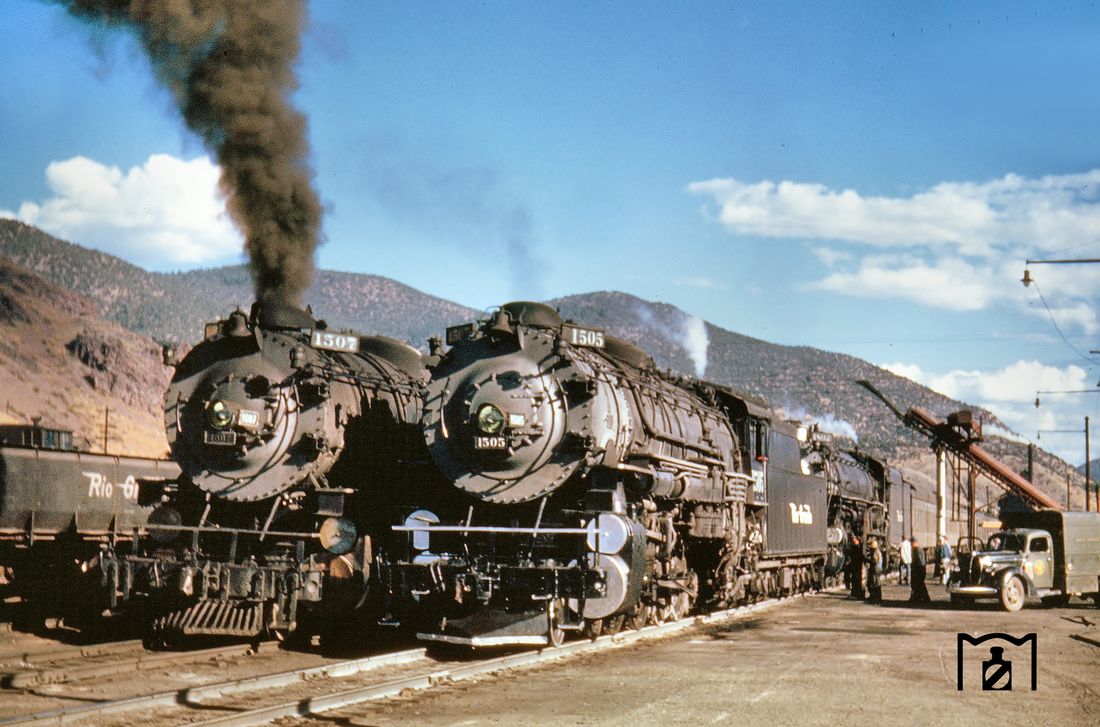
On page 28 there are two fine photos of class M-67 Mountains. The text suggests that both photos were taken at Salida which I think isn’t the case. The lower photo now surfaced in a German collection https://eisenbahnstiftung.de giving Soldier Summit as the location which is unlikely:
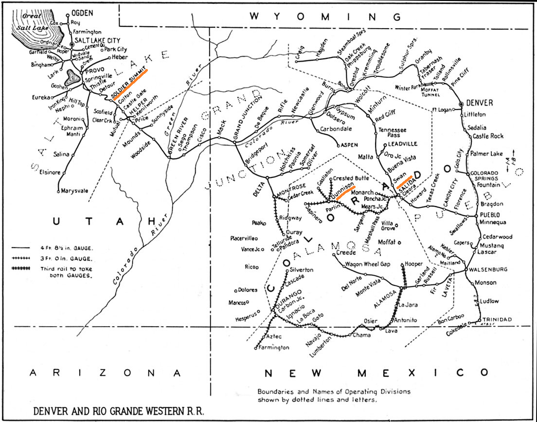
My quick reserach shows Soldier Summit in Utah. I live in Gunnison, CO, just over the mountain from Salida, and know of no soldier summit in the area. The rails used to go over Marshall Pass or thru the Alpine Tunnel. Marshall is south west of Salida, Alpine Tunnel is north east of Salida.
It’s strange that a Japanese person would bring up a UK book in response to a German railfan’s comment about US place names, so there may be some discrepancy somewhere.
Soldier Summit is a flatter upland that what the photo looks like. The topography looks more like Salida, but my concern is the lack of SG/NG 3 rail which was still extensive in Salida thru the steam era. Below is Google StreetView along highway US 6 at Soldier Summit. You are looking down the tail of the wye toward the mainline in the middle distance.
The mountains look right for Salida compared to a couple of other old photos from the same era and point of view. I agree that one would expect the tracks to be three-rail since the NG would still be running. Perhaps there were some tracks that were SG only for through trains.
I found a photo in Jackson C. Thode’s book on Rio Grande passenger trains (A Century of Passenger Trains…and then some) showing the coal loader and an 1800 class locomotive at the same spot - definitely Salida. The photo also shows only two rails. This must have been to the north of where the narrow guage split off, crossed the Arkansas River, and headed toward Marshall Pass/Monarch, hence the lack of the third rail. Note, the train is likely the Royal Gorge, westbound.