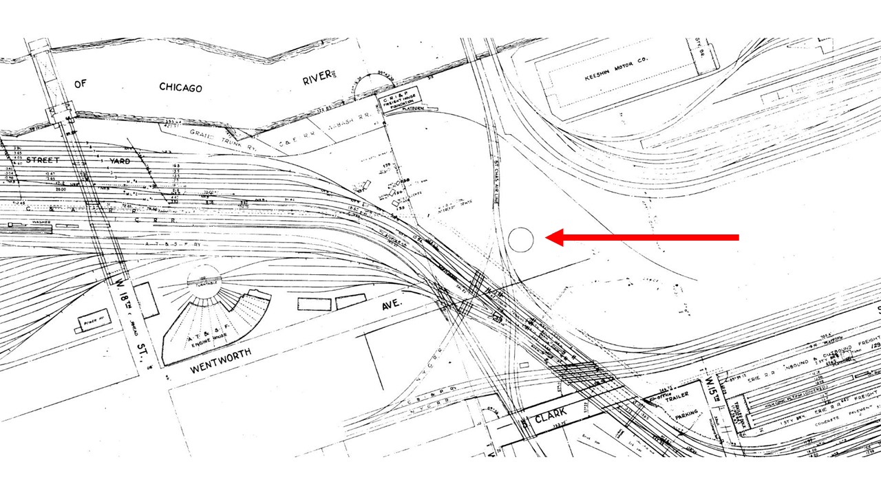
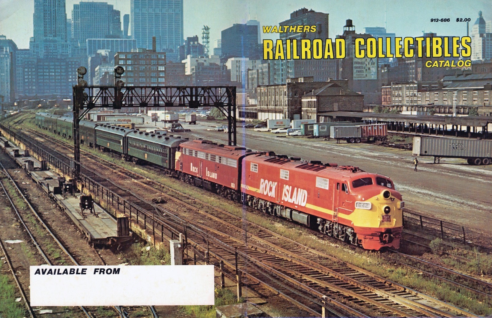
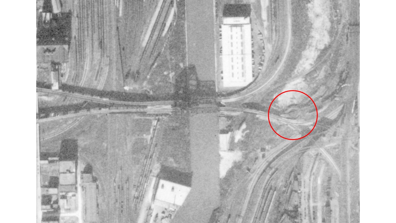
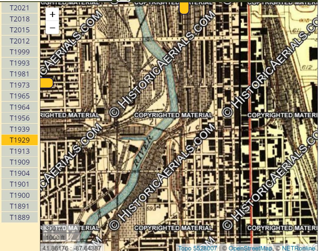
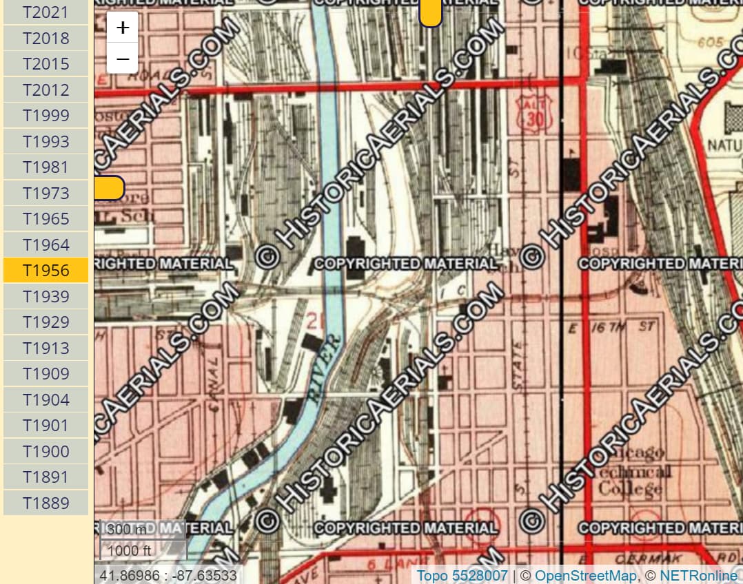
I model Dearborn Station in downtown Chicago. The track map in the photo below has a feature that has puzzled me for years.
The photo illustrates the 4-track C&WI mainline just south of Dearborn Station. Moving from left to right is crosses Wentworth Ave. at grade level, then descends under Clark St. and turns east into Dearborn Station (not shown in the photo).
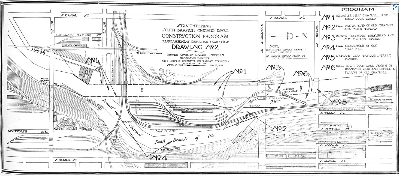
Coming down from top to bottom in the photo is the St. Charles Air Line (SCAL) which crosses over the 4-track C&WI mainline and continues as an overpass across Clark St. By the way, as the SCAL tracks cross the South Branch of the Chicago River, they run across a bascule bridge and next to that bascule bridge is another 2-track bascule bridge used by the Baltimore and Ohio Chicago Terminal Railroad Company (BOCT) to carry its passenger trains to and from Grand Central Station just a bit north of Dearborn Station.
Other interesting features on that track map are the C&WI freight yard on the upper left above the 4-track C&WI mainline and the Santa Fe coach yard, roundhouse and turntable below the 4-track C&WI mainline. Also seen in that track map are the 2-track mainlines for the Rock Island and New York Central leading into LaSalle Street Station which is situated between Grand Central Station and Dearborn Station.
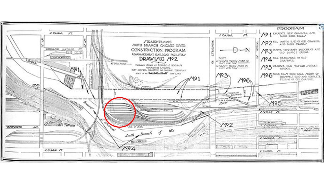
OK, enough orientation. That map represents about one square mile of track for a host of different railroads, nearly a dozen in total. The feature that has puzzled me for years is that circle pointed to by the red arrow. Any ideas what that circle might be?
Rich